Numerical modelling is used to support decision-making in river management, flood risk assessment, and hydraulic infrastructure planning.
Our analyses focus on river hydraulics, flow propagation, water levels, floodplain connectivity, and the interaction of flows with hydraulic structures such as weirs, dams, bridges, culverts, and control works. Model setup, calibration, and interpretation are tailored to the objectives, data availability, and constraints of each project, ensuring results that are robust, transparent, and directly usable for engineering and environmental decision-making.

Hydrodynamics and Flood Processes
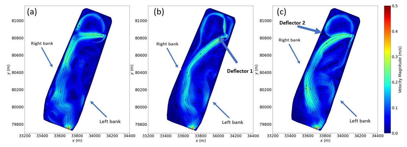
Hydrodynamic modelling is used to quantify flow behaviour, water levels, flood propagation, and hydraulic interactions within river channels and floodplains. Analyses cover a wide range of conditions, from regular flow regimes to extreme flood events, using fit-for-purpose 1D, 2D, and 3D numerical approaches.
Simulations support the assessment of flood scenarios, inundation extents, hydraulic constraints, and the performance of existing or proposed river infrastructure. The results provide a robust technical basis for flood mitigation studies, river management planning, and engineering design.
Hydraulic Structures and River Infrastructure
Numerical modelling is applied to analyse flow interactions with river structures such as weirs, dams, bridges, culverts, intake structures, and control works. Simulations help assess water levels, velocities, recirculation zones, head losses, local hydraulic constraints, and operational performance under varying flow conditions.
These analyses support the design, assessment, and optimisation of river infrastructure, ensuring that hydraulic performance, safety, and project constraints are properly understood.