Sediment transport and dredging modelling is applied to understand and predict the movement of sediments in riverine, estuarine and coastal environments, as well as the morphological response of systems to natural forcing and engineering interventions. Numerical analyses provide insight into sediment pathways, erosion and deposition patterns, and long-term bed evolution under varying hydrodynamic conditions.
Sediment Transport Processes
Sediment transport modelling addresses the mechanisms governing the entrainment, transport and deposition of sediments under the combined influence of currents, waves and turbulence. Analyses consider both bedload and suspended load transport across a range of spatial and temporal scales, from event-based conditions to long-term morphological trends.
Models are used to assess sediment continuity, local scour, channel stability and system response to natural variability, supporting the evaluation of sediment budgets and the identification of dominant transport pathways.
Models are used to assess sediment continuity, local scour, channel stability and system response to natural variability, supporting the evaluation of sediment budgets and the identification of dominant transport pathways.
Morphodynamics and Bed Evolution
Morphodynamic modelling is undertaken to investigate the interaction between flow processes and seabed evolution. Numerical simulations capture feedbacks between hydrodynamics and morphology, allowing the assessment of erosion and deposition patterns, channel migration and long-term morphological adjustment.
These analyses support studies of system resilience, navigational maintenance, habitat evolution and the potential impacts of engineering works on sediment regimes.
These analyses support studies of system resilience, navigational maintenance, habitat evolution and the potential impacts of engineering works on sediment regimes.
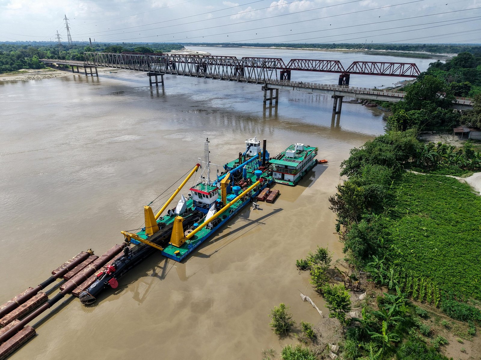
Dredging Process Modelling
Dredging process modelling is applied to assess the hydrodynamic and morphological impacts of dredging activities. Simulations consider dredging-induced changes to bathymetry, sediment resuspension and subsequent transport and redeposition.
Modelling outputs are used to support dredging design, optimise dredging strategies and evaluate the short- and long-term implications of dredging operations on sediment dynamics and system behaviour.
Modelling outputs are used to support dredging design, optimise dredging strategies and evaluate the short- and long-term implications of dredging operations on sediment dynamics and system behaviour.
Environmental Impact and Sediment Dispersion
Numerical modelling is used to evaluate sediment dispersion resulting from natural processes and anthropogenic activities, including dredging and disposal operations. Analyses assess sediment plume development, transport pathways and potential deposition areas under varying hydrodynamic conditions.
These studies support environmental impact assessments, regulatory compliance and the development of mitigation measures by providing a robust, process-based understanding of sediment behaviour.
These studies support environmental impact assessments, regulatory compliance and the development of mitigation measures by providing a robust, process-based understanding of sediment behaviour.
Shoreline Evolution and Coastal Morphological Change
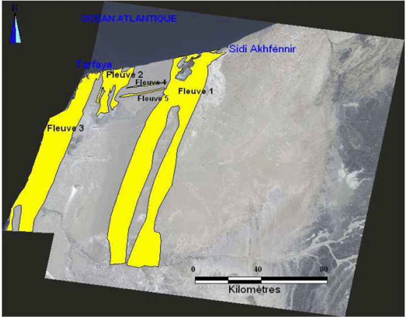
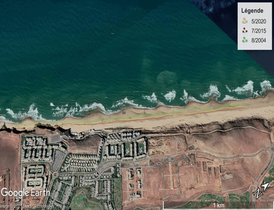
We assess shoreline evolution and coastal morphological change by linking hydrodynamics and sediment dynamics to quantify coastal erosion, sedimentation, and shoreline retreat. Our studies provide decision-grade indicators for coastal management, including the characterization of erosion hotspots, longshore sediment pathways, and the effectiveness of mitigation measures. This integrated approach helps anticipate how coastlines evolve under natural variability and extreme events, supporting resilient planning for ecosystems, settlements, and coastal infrastructure.
Aero-Sedimentary Transport (Wind-Driven Sediment Dynamics)
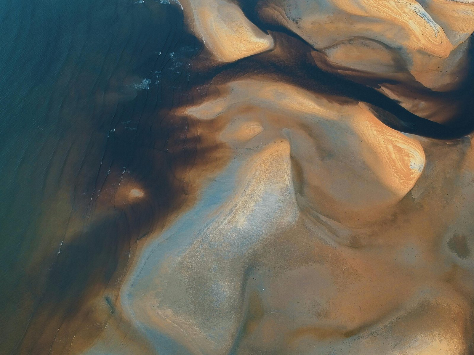
We model aero-sedimentary (wind-driven) transport to characterize sediment mobility over large areas and its role in shaping dynamic landscapes. Using a combination of numerical approaches and remote sensing workflows (satellite imagery) supported by GIS analysis, we quantify sediment sources, transport corridors, and deposition zones. A key application is the understanding of silting and sand encroachment in arid and desert environments, where wind-driven transport controls the formation and migration of dunes and barchans, with direct implications for ecosystems, infrastructure exposure, and land management.